Specialists in mapping and spatial information services
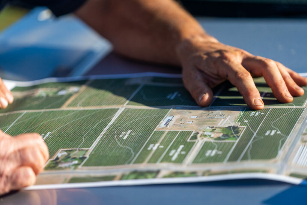
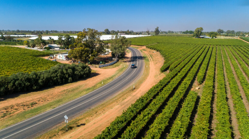
Flyovers capture a bird’s-eye view of the land, a snapshot in time connecting towns, farmland and the natural environment. The imagery can be viewed at any scale, from paddock level to regional overview. Our team uses high resolution aerial imagery to map and measure land data that guides industry sectors and landholders to plan for the future. The data is critical for agriculture business analysis and decision-making, especially in places like Sunraysia, which is renowned for its horticulture including almonds, citrus and grapes.
We offer a unique set of map layers that includes aerial imagery, elevation data and detailed mapping of irrigated horticulture. Combining these data sets provides valuable information to assist property owners, their service providers, industry groups and land and water management agencies.